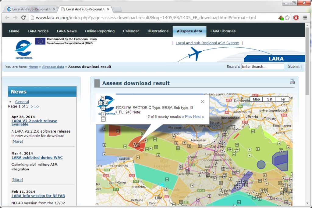
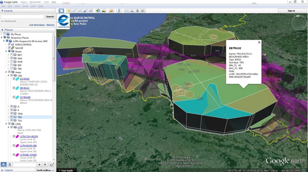
On users request, some enhancements have been made for the graphical visualisation of the downloaded airspace data.
In order to facilitate the sorting and layered display of the entities extracted from the online data base, new data subdivision for points and areas has allowed to regroup them in different sub-folders in Google Maps and Google Earth, such that different rendering style could be more easily associated to them.

Additionally, the generated “pseudo-CACD” dataset now contains NM UUID identifier for airspace and route segments, such that future version of LARA could generate the corresponding AIXM5.1 AUP/UUP for B2B exchanges with NM.


